As part of our Scottish Research Programme, Walk Wheel Cycle Trust has launched a practical new tool to help local and regional decision makers alleviate transport poverty across Scotland.
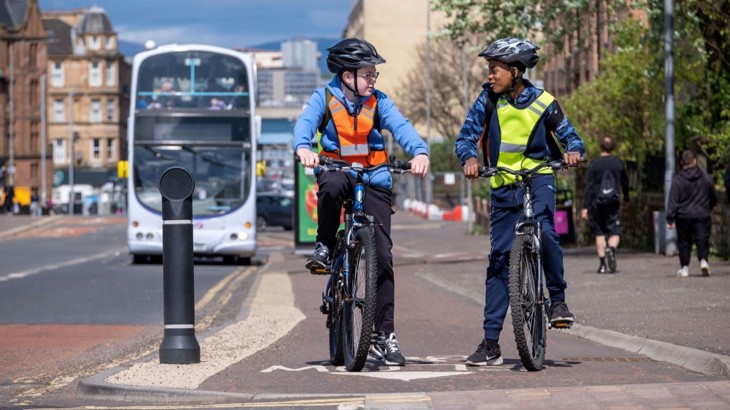
Our new transport poverty tool maps the areas in Scotland where walking, wheeling and cycling investment can make the biggest difference to people's lives. Credit: McAteer.
What is transport poverty?
Transport poverty occurs when people don’t have access to safe, affordable, and reliable ways to get where they need to go.
Journeys to work or school, accessing healthcare or simply staying connected with their community become challenging.
Transport poverty can limit opportunities, increase isolation, and even expose people to greater risks from pollution and road traffic.
People can also be driven below the poverty line, due to their spending on public and private transport – for example being forced to run a car, due to a lack of other options.
Walking, wheeling and cycling are the cheapest and most reliable forms of transport.
As such they have great potential to alleviate transport poverty, whilst boosting our health and reducing our environmental impact at the same time.
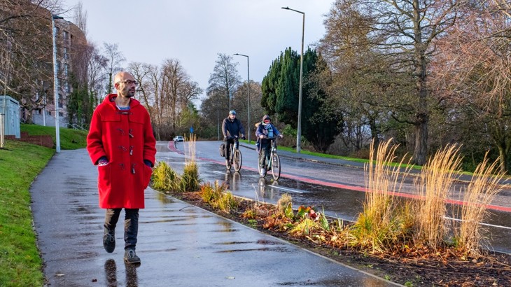
As affordable and reliable methods of transport, walking, wheeling and cycling can help alleviate transport poverty. Credit: Michael Kelly.
What does our tool do?
Our tool maps the areas in Scotland where walking, wheeling and cycling improvements could have the biggest impact in alleviating transport poverty.
This allows decision makers to see geographically where the gaps are, and where a small investment could deliver real change.
Within the mapping, our tool helps identify two different types of areas.
The first is areas with high levels of income deprivation, but the best existing conditions for walking, wheeling and cycling.
The second is areas which have some of the worst existing conditions for walking, wheeling and cycling and where investment could be directed to address this inequality; or where specific dimensions of transport poverty need addressing.
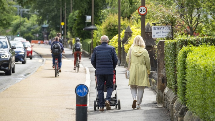
Through interactive maps, decision makers can identify places that would benefit most from active travel infrastructure or behaviour change support. Credit: McAteer.
How does the tool work?
There are five different criteria which contribute to transport poverty: affordability, availability, accessibility, safety and reliability.
While the reliability of walking, wheeling and cycling is assumed to be consistent across Scotland (no reliance on timetables or car ownership etc.), we scored each of the other four criteria from one to five.
The scoring drew upon robust data sources including the Scottish Index of Multiple Deprivation, Scotland’s census, and road safety data from the Department for Transport.
Our analysis gave us individual scores for affordability, availability, accessibility, and safety, as well as an overall score for each geographical area.
Areas which scored highest overall represent places where it would be easiest for active travel to alleviate transport poverty.
This means behaviour change initiatives that support people to walk, wheel and cycle would be most beneficial in these places.
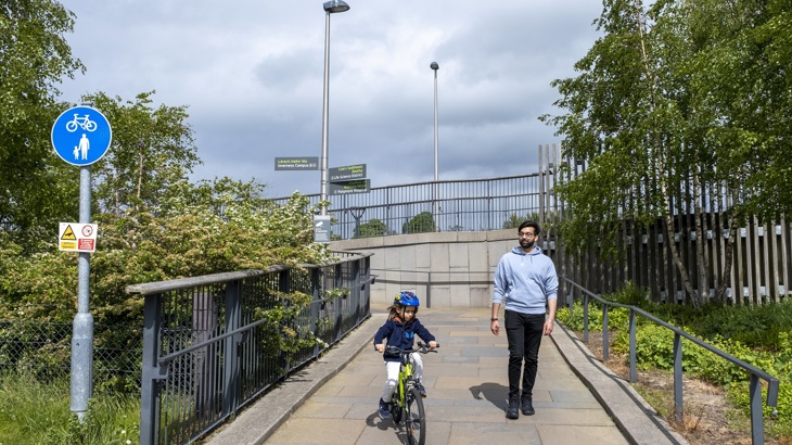
The tool gives an area a score for each aspect of transport poverty, enabling decision makers to seek out tailored solutions. Credit: McAteer.
Areas which scored low represent places with poor existing conditions for walking, wheeling and cycling – these are areas more likely to benefit from infrastructure.
For example, areas that score low on safety would benefit from more walking, wheeling and cycling paths that meet best-practice design standards.
And areas that score low on accessibility would likely benefit from stronger enforcement of pavement parking bans, better maintenance of routes and removal of physical barriers that prevent people from walking, wheeling and cycling.
This scoring system allows decision-makers to see where targeted investment or behaviour change initiatives could have the greatest impact.
The tool also offers practical suggestions for improving each dimension of transport poverty.

By improving the conditions for walking, wheeling and cycling, we can create fairer and more connected communities across Scotland. Credit: Michael Kelly.
Why not try out the tool for yourself?
You can access it here, and see how your local area scores.
Those interested in the nuts and bolts of the tool can download the full technical report here.
For local authorities and transport planners, this tool can help you decide what type of intervention will best benefit an area – helping you develop more efficient, effective schemes that reduce transport poverty and support people across Scotland to live well.
Because everyone deserves to get where they need to go safely, easily and fairly.